BharatNet Phase 3 RKM App
Precision route mapping and distance measurement for BharatNet Phase 3 fiber optic network. Track, document, and manage kilometer markers with GPS-enabled accuracy.
Precision Marker Management
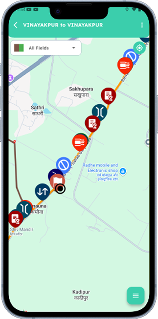
Track every kilometer of your fiber optic network with precision. The RKM App provides field engineers with powerful tools to document, locate, and manage right kilometer markers across the entire BharatNet Phase 3 infrastructure.
High-Precision GPS Tracking
±1 meter accuracy for exact marker positioning and route documentation
Photo Documentation
Visual records with geotagged photos of markers and surrounding landmarks
Automatic Distance Calculation
Real-time distance computation between markers for accurate cable length estimation
What is RKM App?
Essential tool for accurate route mapping and distance measurement in BharatNet Phase 3 fiber optic infrastructure
Precise Route Mapping
GPS-enabled tracking of every kilometer marker for accurate network documentation
Visual Documentation
Geotagged photos of markers and landmarks for easy identification
Distance Calculation
Automatic computation of cable lengths between markers
Powerful Features
Everything you need for comprehensive kilometer marker management
GPS Integration
High-precision GPS coordinates for each RKM location with ±1 meter accuracy, ensuring exact positioning and reliable route mapping.
Photo Documentation
Capture and store geotagged photos of RKM installations and surrounding landmarks for easy identification and verification.
Route Association
Link RKMs to specific fiber optic routes and track cable lengths between markers for complete network visibility.
Maintenance Tracking
Record maintenance activities and condition assessments for each RKM with complete historical tracking.
Distance Calculation
Automatic calculation of distances between RKMs for precise cable length estimation and network planning.
Offline Capability
Work seamlessly in remote areas without connectivity and sync data automatically when network is available.
How It Works
Complete workflow from span selection to report upload
Select Span
Choose fiber route span
Fetch Location
Capture GPS coordinates (±1m accuracy)
ODTR Trace Length
Measure trace length in kilometers
Fiber Events
Count total fiber events detected
Attenuation
Measure signal loss (db/km)
Total Loss
Calculate total loss in dB
Upload Report
Sync data to central system
LSPM Location
Fetch nearby LSPM reference
dB Loss Direction
Measure signal loss directionality
Workflow Complete!
Real-time sync ensures instant data availability
Key Benefits
Transform your route mapping with measurable results
GPS Accuracy
High-precision location tracking ensures accurate network documentation and fault location
Faster Troubleshooting
Quickly locate faults and issues with precise kilometer marker reference points
Team Coordination
Standardized reference points improve collaboration across different field teams
Ready to Map Your Network?
Join field engineers using RKM App for precise kilometer marker management across BharatNet Phase 3.